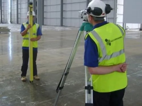
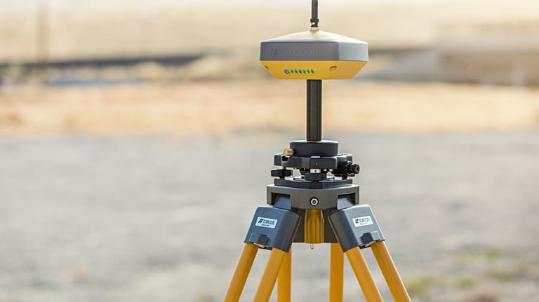
LAND SURVEYING SERVICES
COMPETANTLY UTILIZING THE LATEST TECH TO PROVIDE TIMELY AND AFFORDABLE SOLUTIONS FOR YOUR LAND SURVEYING PROJECT. WE PROVIDE THE FOLLOWING SERVICES:
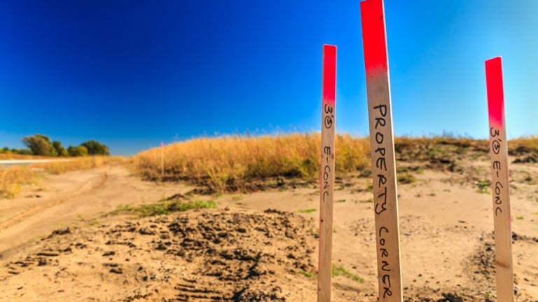
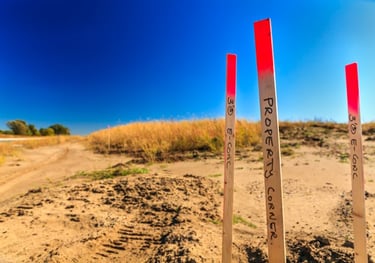
BOUNDARY
Typically used to establish the location of existing property boundary lines as well as creating new property boundary lines.
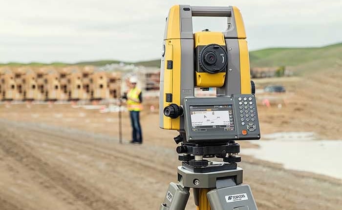
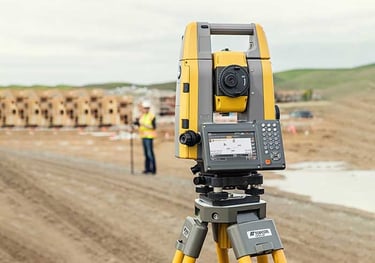
CONSTRUCTION LAYOUT
Staking out reference points and markers that guide the construction of new structures such as roads or buildings for later construction.


AS-BUILT SURVEY
The measurement and location of existing structures/features on any given parcel of land.
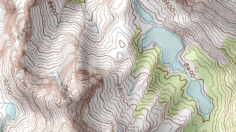
TOPOGRAPHIC
Typically used to measure and map the natural and man-made surface of the earth.
ALTA/NSPS
"American Land Title Association". A comprehensive and detailed survey usually necessary for commercial real estate transactions.
FEMA ELEVATION CERTIFICATES
Commonly required by insurance agencies to assess the appropriate kind of insurance for a given piece of property/structure.
Turner Surveying and Mapping LLC.
1071 County Road 2, Delta Alabama, 36258
Blake Turner: (256) 201-0089
Lance Turner: (256) 201-1688